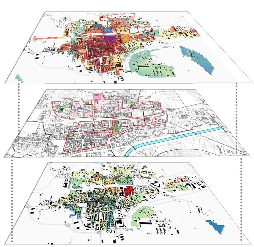
Thanks to the partnership agreement signed in November 2023 between the Municipal Council of the City of Chivasso and iiSBE Italia R&D, in the context of the EU project ADAPTNOW, the cooperation among the interested parties in the assessment of climate risk analysis has intensified. This partnership has allowed to elaborate, over the last few months, specific maps which organize, analyze and represent spatial data related to the Municipality of Chivasso through QGIS open-source software.
In particular the focus has been on the extreme temperature risk; related to that, the following maps has been elaborated:
- Vulnerability Map: it considers the Land Surface Temperature (LST) and the permeability,
- Exposure Map: it considers the vulnerable population (under 10 and over 65 years old)
- Risk Map: which considers all the elements taken into account in the previous maps.
Thanks to this in-depth analysis, discussed in detail during several meetings, also joined by the Paglia Associated Firm, which is the architectural firm in charge of the review of the Chivasso General Master Plan, the Municipality of Chivasso has been divided into micro urban zones, on which performance indicators will be calculated. Based on the results achieved, specific adaptation strategies will be elaborated.
An innovative approach to the identification of the climate risk, developed thanks to the EU project ADAPTNOW, that identify the Municipality of Chivasso pioneer in the activity.


