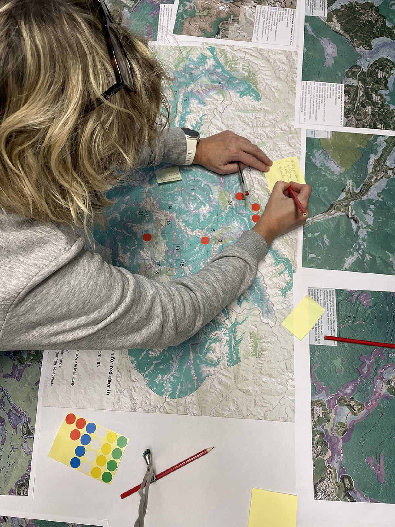
On November 5th a workshop with the regional connectivity working group discussed the creation of the ecological connectivity concept in South Tyrol.
The workshop, held in Bozen at Eurac Research, was attended by participants chosen for their local expertise. From public administration, the provincial offices for municipal planning, road constructions, landscape planning, forest management, wildlife management and provincial spatial planning were present during the meeting. Furthermore, the association of biologists, the Museum for Nature South Tyrol, the Institute for Alpine Environment of Eurac Research and the hunter association South Tyrol took part of the workshop.
The main objectives of the workshop were the presentation and validation of the model, it’s possible integration or modification and discussion of the next phases of the project. Furthermore, during the interactive map work session, participants collected possible future threats for connectivity in the pilot site.
The most important aspects that emerged are that the model is a good start for the development of the provincial ecological connectivity concept. However, for the model’s applicability and its integration into provincial and municipal plans, further fieldwork for the validation of the corridors is necessary, including camera traps, radio collars, or snow tracking e.g.
The first green bridge in South Tyrol will be built in La Serra area, in the Municipality of San Lorenzo di Sebato, and the ecological connectivity model was used to support and confirm the passage of the red deer in this area. During the presentation of the Green Bridge to the local communities on November 25th, the analysis produced by Eurac Research within the PlanToConnect project were mentioned.
Workshop of the Regional connectivity working group South Tyrol 5th of November 2024


